
Tzum topographic map
Interactive map
Click on the map to display elevation.
About this map
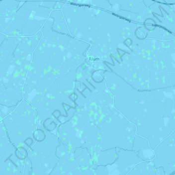
Name: Tzum topographic map, elevation, terrain.
Location: Tzum, Waadhoeke, Friesland, Nederland (53.12952 5.52550 53.17215 5.60473)
Average elevation: 0 m
Minimum elevation: -3 m
Maximum elevation: 2 m
Other topographic maps
Click on a map to view its topography, its elevation and its terrain.
Oosterbierum
Nederland > Friesland > Waadhoeke
Oosterbierum, Waadhoeke, Friesland, Nederland
Average elevation: 0 m