
Menaam topographic map
Interactive map
Click on the map to display elevation.
About this map
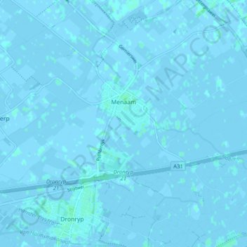
Name: Menaam topographic map, elevation, terrain.
Location: Menaam, Waadhoeke, Friesland, Nederland (53.19028 5.62944 53.23337 5.70679)
Average elevation: 0 m
Minimum elevation: -3 m
Maximum elevation: 4 m
Other topographic maps
Click on a map to view its topography, its elevation and its terrain.
Oosterbierum
Nederland > Friesland > Waadhoeke
Oosterbierum, Waadhoeke, Friesland, Nederland
Average elevation: 0 m