
Ban Khok Sa-at topographic map
Interactive map
Click on the map to display elevation.
About this map
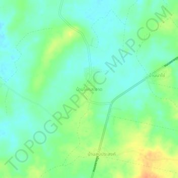
Name: Ban Khok Sa-at topographic map, elevation, terrain.
Location: Ban Khok Sa-at, Nong Loeng, Bueng Kan Province, Thailand (18.36958 103.31803 18.40958 103.35803)
Average elevation: 165 m
Minimum elevation: 151 m
Maximum elevation: 190 m
Other topographic maps
Click on a map to view its topography, its elevation and its terrain.