
Seka topographic map
Interactive map
Click on the map to display elevation.
About this map
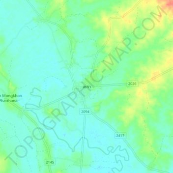
Name: Seka topographic map, elevation, terrain.
Location: Seka, Sang, Bueng Kan Province, Thailand (17.88879 103.91498 17.96879 103.99498)
Average elevation: 156 m
Minimum elevation: 143 m
Maximum elevation: 192 m
Other topographic maps
Click on a map to view its topography, its elevation and its terrain.
Ban Khok Sa-at
Ban Khok Sa-at, Nong Loeng, Bueng Kan Province, Thailand
Average elevation: 165 m