
Val Vigezzo topographic map
Click on the map to display elevation.
Val Vigezzo
Il territorio presenta una ricca vegetazione ed abbondanza di acque, nonostante la modesta altitudine delle montagne circostanti e quindi l'assenza di ghiacciai o nevai.
About this map
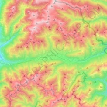
Name: Val Vigezzo topographic map, elevation, terrain.
Average elevation: 1,368 m
Minimum elevation: 348 m
Maximum elevation: 2,519 m
Other topographic maps
Click on a map to view its topography, its elevation and its terrain.
Capella di Orello
Italia > Piemonte > Verbano-Cusio-Ossola > Santa Maria Maggiore
Average elevation: 1,338 m