Geolocate

Flete topographic map

Click on the map to display elevation.

About this map

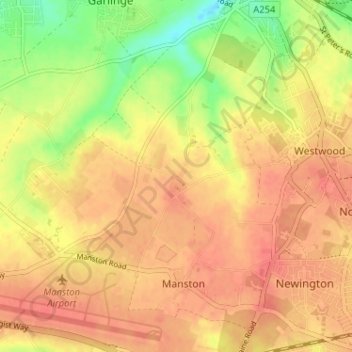
Name: Flete topographic map, elevation, terrain.

Location: Flete, Manston, Thanet, Kent, England, CT9 4LQ, United Kingdom (51.33825 1.34835 51.37825 1.38835)

Average elevation: 39 m

Minimum elevation: 5 m

Maximum elevation: 57 m

Gear up for your next adventure:

💡LED Camping Lantern - Illuminate your campsite with long-lasting lanterns
🧴Bear Spray Holster - Quick-access carry for essential Canadian wilderness safety
🔦LED Headlamp - Hands-free lighting for early morning starts or late finishes
📷Outdoor Action Camera - Capture high-elevation views and rugged adventures
🪑Insulated Seat Pad - Protect your seat from cold rocks and wet logs

As an Amazon Associate, this site earns from qualifying purchases at no extra cost to you.