Geolocate

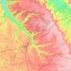
Le Camp Auger topographic map

Click on the map to display elevation.

About this map
Name: Le Camp Auger topographic map, elevation, terrain.

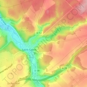
Location: Le Camp Auger, Saint-Saëns, Dieppe, Seine-Maritime, Normandie, France métropolitaine, 76680, France (49.65520 1.27318 49.69520 1.31318)

Average elevation: 169 m

Minimum elevation: 92 m

Maximum elevation: 226 m

Other topographic maps

Click on a map to view its topography, its elevation and its terrain.

76680

France > Normandie > Seine-Maritime > Saint-Saëns > Le Camp Auger

Average elevation: 171 m

Gear up for your next adventure:

🦟Insect Repellent - Keep mosquitoes and black flies away in wooded areas
🥾Hiking Gaiters - Protect legs and shoes from mud, snow, and debris
🧦Hiking Socks - Moisture-wicking and comfortable socks for long hikes
🧴Outdoor Sunscreen - High SPF protection for high-altitude UV exposure
🧥Fleece Jacket - Warm and lightweight jacket for layering

As an Amazon Associate, this site earns from qualifying purchases at no extra cost to you.