
Bois Royal dit de l'Abbaye topographic map
Interactive map
Click on the map to display elevation.
About this map
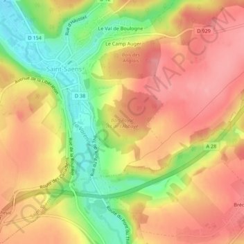
Name: Bois Royal dit de l'Abbaye topographic map, elevation, terrain.
Average elevation: 158 m
Minimum elevation: 97 m
Maximum elevation: 197 m