Geolocate

Ye topographic map

Click on the map to display elevation.

About this map

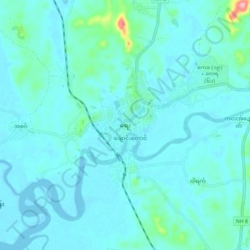
Name: Ye topographic map, elevation, terrain.

Location: Ye, Ye District, Mon State, 12101, Myanmar (15.20641 97.81204 15.28641 97.89204)

Average elevation: 15 m

Minimum elevation: -1 m

Maximum elevation: 139 m

Gear up for your next adventure:

🧦Hiking Liner Socks - Thin base layer to prevent friction and blisters
🥾Approach Shoes - Shoes designed for climbing approaches and rugged trails
🥾Mountaineering Boots - Supportive boots for climbing and high-altitude hiking
💧Filtered Water Bottle - Safe drinking water on the go
🥘Camping Cookware Set - Compact nesting pots and pans for trail cooking

As an Amazon Associate, this site earns from qualifying purchases at no extra cost to you.