
Ballymagroarty topographic map
Click on the map to display elevation.
About this map
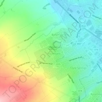
Name: Ballymagroarty topographic map, elevation, terrain.
Average elevation: 73 m
Minimum elevation: 7 m
Maximum elevation: 194 m
Other topographic maps
Click on a map to view its topography, its elevation and its terrain.
Foyle
United Kingdom > Northern Ireland > County Londonderry > Derry/Londonderry
Average elevation: 48 m
Foyle
United Kingdom > Northern Ireland > County Londonderry > Derry/Londonderry
Average elevation: 48 m
Bay Road Park
United Kingdom > Northern Ireland > County Londonderry > Derry/Londonderry
Average elevation: 19 m