
East Wellington Park topographic map
Interactive map
Click on the map to display elevation.
About this map
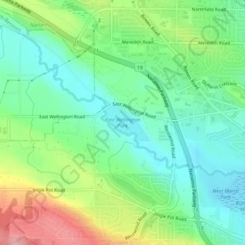
Name: East Wellington Park topographic map, elevation, terrain.
Average elevation: 99 m
Minimum elevation: 54 m
Maximum elevation: 189 m
Other topographic maps
Click on a map to view its topography, its elevation and its terrain.
Cathers Lake
Canada > British Columbia > Regional District of Nanaimo > Nanaimo
Cathers Lake, Jingle Pot, Nanaimo, Regional District of Nanaimo, British Columbia, Canada
Average elevation: 119 m
Outer Nanaimo Harbour
Canada > British Columbia > Regional District of Nanaimo > Nanaimo
Outer Nanaimo Harbour, Nanaimo, Regional District of Nanaimo, British Columbia, Canada
Average elevation: 7 m