
Vilarello topographic map
Click on the map to display elevation.
About this map
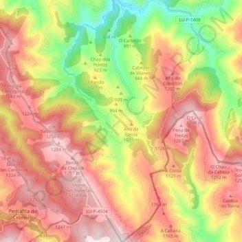
Name: Vilarello topographic map, elevation, terrain.
Location: Vilarello, Cervantes, Ancares, Lugo, Galicia, España (42.71869 -7.01045 42.78673 -6.95879)
Average elevation: 1,023 m
Minimum elevation: 634 m
Maximum elevation: 1,324 m
Other topographic maps
Click on a map to view its topography, its elevation and its terrain.