
O Penedo topographic map
Interactive map
Click on the map to display elevation.
About this map
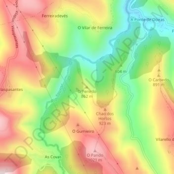
Name: O Penedo topographic map, elevation, terrain.
Location: O Penedo, Cervantes, Ancares, Lugo, Galicia, 27666, España (42.77498 -6.99582 42.77508 -6.99572)
Average elevation: 839 m
Minimum elevation: 631 m
Maximum elevation: 1,044 m
Other topographic maps
Click on a map to view its topography, its elevation and its terrain.