Geolocate

Batu 7.5 topographic map

Click on the map to display elevation.

About this map

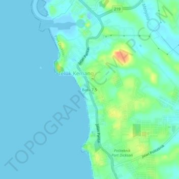
Name: Batu 7.5 topographic map, elevation, terrain.

Location: Batu 7.5, Port Dickson, Negeri Sembilan, 71050, Malaysia (2.43840 101.83591 2.47840 101.87591)

Average elevation: 8 m

Minimum elevation: -4 m

Maximum elevation: 44 m

Other topographic maps

Click on a map to view its topography, its elevation and its terrain.

Gear up for your next adventure:

🪑Ultralight Camping Stool - Compact seating for rest stops during long hikes
🔭Outdoor Binoculars - Lightweight binoculars for birdwatching and hiking
🎒Hiking Daypack - Lightweight and durable backpacks for day trips and excursions
🦯Trekking Poles - Reduced impact on joints for steep topographic climbs
🧊Portable Cooler - Keep food and drinks cold during outdoor adventures

As an Amazon Associate, this site earns from qualifying purchases at no extra cost to you.