
Soda Spring topographic map
Interactive map
Click on the map to display elevation.
About this map
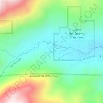
Name: Soda Spring topographic map, elevation, terrain.
Average elevation: 1,998 m
Minimum elevation: 1,762 m
Maximum elevation: 2,497 m
Other topographic maps
Click on a map to view its topography, its elevation and its terrain.
Kirkwood
United States > California > Alpine County
Kirkwood, Alpine County, California, United States
Average elevation: 2,451 m