
River Park topographic map
Click on the map to display elevation.
About this map
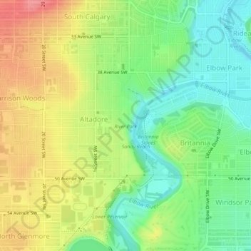
Name: River Park topographic map, elevation, terrain.
Location: River Park, Altadore, Calgary, Alberta, Canada (51.00870 -114.09753 51.02009 -114.09165)
Average elevation: 1,086 m
Minimum elevation: 1,050 m
Maximum elevation: 1,129 m
Alberta trails, hiking, mountain biking, running and outdoor activities
Other topographic maps
Click on a map to view its topography, its elevation and its terrain.