Kodal topographic map
Click on the map to display elevation.
Kodal
An ancient hill fort can be seen about 5 kilometres (3.1 mi) from the village centre of Kodal, connected by a hiking trail from the village centre. A closer parking lot can be found at Kodalveien 414. The trail is marked by blue paint on trees and rocks, and a variety of interpretive signs describing the fauna and flora can be found on the trail to Bygdeborgen. The local lake Gallisvannet sits at the north end of the village at an elevation of 44 metres (144 ft) above sea level. The lake Goksjø is located about 3 kilometres (1.9 mi) to the south of the village.
About this map
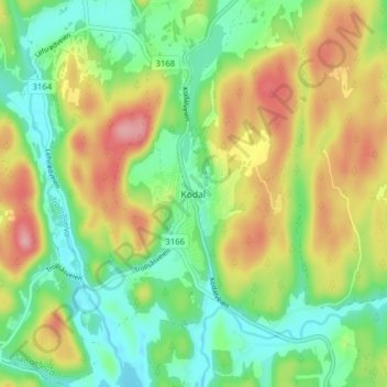
Name: Kodal topographic map, elevation, terrain.
Location: Kodal, Sandefjord, Vestfold, 3243, Norway (59.19438 10.11843 59.23438 10.15843)
Average elevation: 75 m
Minimum elevation: 27 m
Maximum elevation: 146 m
Other topographic maps
Click on a map to view its topography, its elevation and its terrain.