Geolocate

Pyu topographic map

Click on the map to display elevation.

About this map

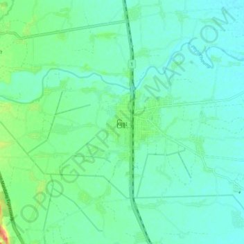
Name: Pyu topographic map, elevation, terrain.

Location: Pyu, Phyu, Taungoo District, Bago Region, Myanmar (18.44333 96.39333 18.52333 96.47333)

Average elevation: 49 m

Minimum elevation: 38 m

Maximum elevation: 82 m

Other topographic maps

Click on a map to view its topography, its elevation and its terrain.

Zayat Kyee

Myanmar > Bago Region > Taungoo District

Average elevation: 36 m

Gear up for your next adventure:

🧤Insulated Winter Gloves - Heavy-duty protection for sub-zero Canadian adventures
🧤Thermal Hiking Gloves - Grip-enhanced gloves for cold-weather altitude trekking
🥾Waterproof Hiking Shoes - Durable shoes for wet and rugged trails
🥾Hiking Boots - Sturdy boots providing ankle support and traction on rugged trails
🔭Outdoor Binoculars - Lightweight binoculars for birdwatching and hiking

As an Amazon Associate, this site earns from qualifying purchases at no extra cost to you.