
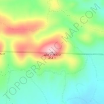
Wolf Pinnacle topographic map
Click on the map to display elevation.
About this map
Name: Wolf Pinnacle topographic map, elevation, terrain.
Location: Wolf Pinnacle, Saline County, Arkansas, United States (34.77087 -92.91828 34.77097 -92.91818)
Average elevation: 297 m
Minimum elevation: 203 m
Maximum elevation: 460 m
Other topographic maps
Click on a map to view its topography, its elevation and its terrain.