Geolocate

Ice Lake topographic map

Interactive map

Click on the map to display elevation.

About this map

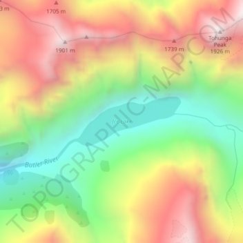
Name: Ice Lake topographic map, elevation, terrain.

Location: Ice Lake, Westland District, West Coast, New Zealand (-43.40782 170.47474 -43.40233 170.49110)

Average elevation: 1,343 m

Minimum elevation: 812 m

Maximum elevation: 1,924 m

Other topographic maps

Click on a map to view its topography, its elevation and its terrain.

Smoothwater River

New Zealand > West Coast > Westland District

Smoothwater River, Westland District, West Coast, New Zealand

Average elevation: 175 m

Haast Pass

New Zealand > West Coast > Westland District

Haast Pass, Westland District, West Coast, New Zealand

Average elevation: 766 m

Mount Mackenzie

New Zealand > West Coast > Westland District

Mount Mackenzie, Westland District, West Coast, New Zealand

Average elevation: 1,636 m