Geolocate

Haast Pass topographic map

Click on the map to display elevation.

About this map

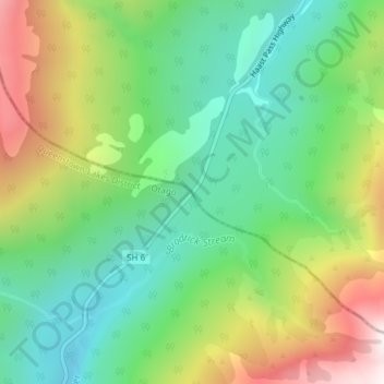
Name: Haast Pass topographic map, elevation, terrain.

Location: Haast Pass, Westland District, West Coast, New Zealand (-44.10734 169.35475 -44.10724 169.35485)

Average elevation: 766 m

Minimum elevation: 424 m

Maximum elevation: 1,362 m

Other topographic maps

Click on a map to view its topography, its elevation and its terrain.

Ice Lake

New Zealand > West Coast > Westland District

Average elevation: 1,343 m

Gear up for your next adventure:

🥾Hiking Gaiters - Protect legs and shoes from mud, snow, and debris
🕯️Camping Lantern - Illuminates your entire campsite with high-efficiency LEDs
🧴First Aid Kit - Essential first aid supplies for outdoor emergencies
💧Filtered Water Bottle - Safe drinking water on the go
💡LED Camping Lantern - Illuminate your campsite with long-lasting lanterns

As an Amazon Associate, this site earns from qualifying purchases at no extra cost to you.