Geolocate

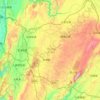
Malang topographic map

Click on the map to display elevation.

About this map
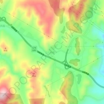
Name: Malang topographic map, elevation, terrain.

Location: Malang, Kunming, Yunnan, China (24.88018 102.91622 24.92018 102.95622)

Average elevation: 2,100 m

Minimum elevation: 1,930 m

Maximum elevation: 2,311 m

Other topographic maps

Click on a map to view its topography, its elevation and its terrain.

Panlong District

China > Yunnan > Kunming

Average elevation: 2,137 m

Dabanqiao Subdistrict

China > Yunnan > Kunming

Average elevation: 2,093 m

Shilin Yi Autonomous County

China > Yunnan > Kunming

Average elevation: 1,882 m

Tuodong Subdistrict

China > Yunnan > Kunming

Average elevation: 1,901 m

Shilin Yi Autonomous County

China > Yunnan > Kunming

Average elevation: 1,882 m

Gear up for your next adventure:

🦶Hiking Shoe Insoles - Added support for high arches and long days on feet
💡Solar Camping Lamp - Eco-friendly lighting for campsites
🎒Hiking Backpack - Lightweight and ergonomic backpacks for day hikes or multi-day treks
🔦LED Headtorch - Bright and durable light for night activities
💧Hydration Bladder - Hands-free hydration solution for long treks

As an Amazon Associate, this site earns from qualifying purchases at no extra cost to you.