Geolocate

Shelfanger topographic map

Click on the map to display elevation.

About this map

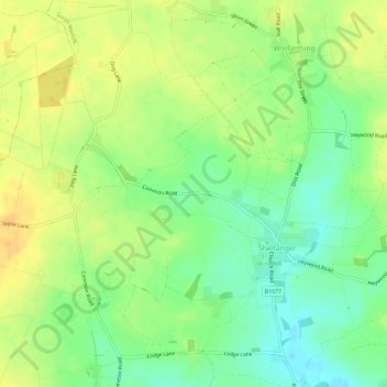
Name: Shelfanger topographic map, elevation, terrain.

Location: Shelfanger, South Norfolk, Norfolk, England, United Kingdom (52.39896 1.06285 52.43445 1.11634)

Average elevation: 48 m

Minimum elevation: 32 m

Maximum elevation: 62 m

Gear up for your next adventure:

🔦LED Headlamp - Hands-free lighting for early morning starts or late finishes
🥾Trail Running Shoes - Lightweight and durable shoes for trail running
👖Convertible Hiking Pants - Zip-off legs to adapt to changing weather conditions
🥾Light Hiking Boots - Lightweight and comfortable boots for day hikes
🌬️Windproof Camp Stove - Efficient cooking even on exposed mountain peaks

As an Amazon Associate, this site earns from qualifying purchases at no extra cost to you.