Geolocate

Prelate topographic map

Click on the map to display elevation.

About this map
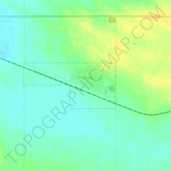
Name: Prelate topographic map, elevation, terrain.

Location: Prelate, Division No. 8, Saskatchewan, Canada (50.84880 -109.42126 50.85604 -109.39819)

Average elevation: 681 m

Minimum elevation: 671 m

Maximum elevation: 697 m

Division No. 8 trails, hiking, mountain biking, running and outdoor activities

Other topographic maps

Click on a map to view its topography, its elevation and its terrain.

Matador

Canada > Saskatchewan > Division No. 8 > Lacadena No. 228

Average elevation: 672 m

Gear up for your next adventure:

🏕️Camping Hammock - Integrated protection for sleeping between trees
🧢Sun Hat - Wide-brim hat for sun protection
⛺Camping Tent - Weather-resistant tents suitable for 2 to 6 people
🥾Mountain Hiking Boots - High-traction boots for rocky terrain
🧢Outdoor Visor - Breathable visor for sunny hikes

As an Amazon Associate, this site earns from qualifying purchases at no extra cost to you.