Geolocate

Matador topographic map

Click on the map to display elevation.

About this map

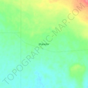
Name: Matador topographic map, elevation, terrain.

Location: Matador, Lacadena No. 228, Division No. 8, Saskatchewan, Canada (50.78000 -107.97000 50.82000 -107.93000)

Average elevation: 672 m

Minimum elevation: 650 m

Maximum elevation: 721 m

Division No. 8 trails, hiking, mountain biking, running and outdoor activities

Other topographic maps

Click on a map to view its topography, its elevation and its terrain.

Gear up for your next adventure:

🔋Solar Power Bank - Keep your GPS and devices charged during long outdoor trips
🥘Camping Cookware Set - Compact nesting pots and pans for trail cooking
🧢Outdoor Cap - Protective cap for sun and rain during hikes
🦶Hiking Shoe Insoles - Added support for high arches and long days on feet
🥾Approach Boots - Comfortable boots for hiking and climbing approaches

As an Amazon Associate, this site earns from qualifying purchases at no extra cost to you.