
Mukurweini topographic map
Click on the map to display elevation.
About this map
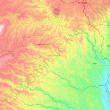
Name: Mukurweini topographic map, elevation, terrain.
Location: Mukurweini, Nyeri, Central Kenya, Kenya (-0.64687 36.97315 -0.51501 37.18018)
Average elevation: 1,593 m
Minimum elevation: 1,204 m
Maximum elevation: 1,995 m
Other topographic maps
Click on a map to view its topography, its elevation and its terrain.