
Lannavaara topographic map
Click on the map to display elevation.
About this map
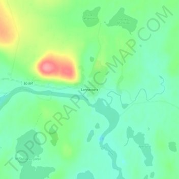
Name: Lannavaara topographic map, elevation, terrain.
Location: Lannavaara, Kiruna kommun, Norrbotten County, 980 13, Sweden (68.02694 21.95035 68.06694 21.99035)
Average elevation: 359 m
Minimum elevation: 336 m
Maximum elevation: 418 m
Other topographic maps
Click on a map to view its topography, its elevation and its terrain.
Torneträsk
Permafrost is common in the land around the lake. This low elevation permafrost is disappearing because of global warming and increased snowfall.
Average elevation: 768 m
Abisko National Park
Permafrost is common in the national park, though permafrost at lower elevations is disappearing because of global warming and increased snowfall.
Average elevation: 740 m