
Thank you for supporting this site ❤️
Make a donation
Make a donation
Gear up for your next adventure:
As an Amazon Associate, this site earns from qualifying purchases at no extra cost to you.
Erskine topographic map
Click on the map to display elevation.
Thank you for supporting this site ❤️
Make a donation
Make a donation
Gear up for your next adventure:
As an Amazon Associate, this site earns from qualifying purchases at no extra cost to you.
About this map
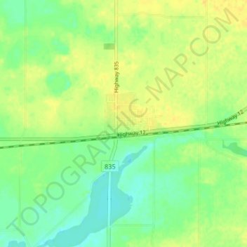
Name: Erskine topographic map, elevation, terrain.
Location: Erskine, County of Stettler, Alberta, T0C 1G0, Canada (52.30019 -112.90208 52.34019 -112.86208)
Average elevation: 812 m
Minimum elevation: 800 m
Maximum elevation: 823 m
County of Stettler trails, hiking, mountain biking, running and outdoor activities
Thank you for supporting this site ❤️
Make a donation
Make a donation
Gear up for your next adventure:
As an Amazon Associate, this site earns from qualifying purchases at no extra cost to you.