
Bellfountain topographic map
Click on the map to display elevation.
About this map
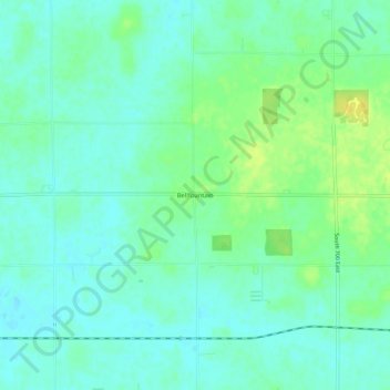
Name: Bellfountain topographic map, elevation, terrain.
Location: Bellfountain, Jay County, Indiana, United States (40.41325 -84.88341 40.45325 -84.84341)
Average elevation: 286 m
Minimum elevation: 278 m
Maximum elevation: 302 m
Other topographic maps
Click on a map to view its topography, its elevation and its terrain.