Geolocate

Antioch topographic map

Click on the map to display elevation.

About this map

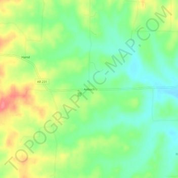
Name: Antioch topographic map, elevation, terrain.

Location: Antioch, Randolph County, Arkansas, United States (36.37590 -91.06763 36.41590 -91.02763)

Average elevation: 130 m

Minimum elevation: 100 m

Maximum elevation: 172 m

Other topographic maps

Click on a map to view its topography, its elevation and its terrain.

Maynard

United States > Arkansas > Randolph County

Average elevation: 128 m

Maynard

United States > Arkansas > Randolph County

Average elevation: 128 m

Maynard

United States > Arkansas > Randolph County

Average elevation: 128 m

Gear up for your next adventure:

🧢Sun Protection Cap - Breathable cap to protect from sun exposure
🥾Mountaineering Boots - Supportive boots for climbing and high-altitude hiking
🪑Insulated Seat Pad - Protect your seat from cold rocks and wet logs
🗺️Topographic Maps - Detailed maps to explore trails, mountains, and wilderness areas
🧰Multitool Knife - Compact and versatile tool for outdoor use

As an Amazon Associate, this site earns from qualifying purchases at no extra cost to you.