Geolocate

Crystal Mountain topographic map

Click on the map to display elevation.

About this map

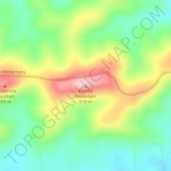
Name: Crystal Mountain topographic map, elevation, terrain.

Location: Crystal Mountain, Saline County, Arkansas, United States (34.83810 -92.93633 34.83820 -92.93623)

Average elevation: 367 m

Minimum elevation: 271 m

Maximum elevation: 516 m

Other topographic maps

Click on a map to view its topography, its elevation and its terrain.

Benton

United States > Arkansas > Saline County

Average elevation: 121 m

East End

United States > Arkansas > Saline County

Average elevation: 95 m

Bryant

United States > Arkansas > Saline County

Average elevation: 125 m

Bauxite

United States > Arkansas > Saline County

Average elevation: 120 m

Benton

United States > Arkansas > Saline County

Average elevation: 121 m

Bryant

United States > Arkansas > Saline County

Average elevation: 125 m

Bauxite

United States > Arkansas > Saline County > Bauxite

Average elevation: 120 m

Bauxite

United States > Arkansas > Saline County

Average elevation: 120 m

Gear up for your next adventure:

🔦UV Flashlight - Detect minerals or specific insects in the dark
💧Filtered Water Bottle - Safe drinking water on the go
🌡️Emergency Mylar Blankets - Compact thermal protection for unexpected nights outdoors
👟Trail Running Shoes - Agile footwear for fast-paced topographic exploration
🧦Hiking Liner Socks - Thin base layer to prevent friction and blisters

As an Amazon Associate, this site earns from qualifying purchases at no extra cost to you.