Geolocate

Dennis topographic map

Click on the map to display elevation.

About this map

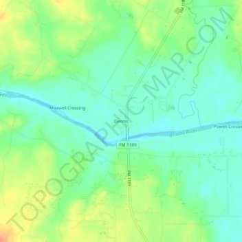
Name: Dennis topographic map, elevation, terrain.

Location: Dennis, Parker County, Texas, United States (32.59874 -97.94670 32.63874 -97.90670)

Average elevation: 233 m

Minimum elevation: 217 m

Maximum elevation: 260 m

Other topographic maps

Click on a map to view its topography, its elevation and its terrain.

Weatherford

United States > Texas > Parker County

Average elevation: 326 m

Reno

United States > Texas > Parker County

Average elevation: 233 m

Aledo

United States > Texas > Parker County

Average elevation: 271 m

Springtown

United States > Texas > Parker County

Average elevation: 273 m

Millsap

United States > Texas > Parker County

Average elevation: 257 m

Snake Forest

United States > Texas > Parker County

Average elevation: 312 m

Aledo

United States > Texas > Parker County

Average elevation: 271 m

Weatherford

United States > Texas > Parker County

Average elevation: 326 m

Gear up for your next adventure:

🥾Hiking Leggings - Comfortable leggings for outdoor activities
Camping Coffee Maker - Brew fresh coffee anywhere on the topographic map
🚲Heavy Duty Bike Lock - Secure your bike at the trailhead or during stops
🧦Hiking Socks - Moisture-wicking and comfortable socks for long hikes
🔋Emergency Crank Radio - Weather alerts and power without needing batteries

As an Amazon Associate, this site earns from qualifying purchases at no extra cost to you.