
Wilnis topographic map
Click on the map to display elevation.
About this map
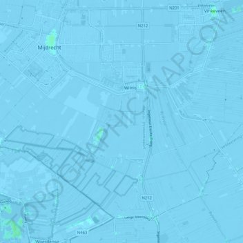
Name: Wilnis topographic map, elevation, terrain.
Location: Wilnis, De Ronde Venen, Utrecht, Netherlands (52.16146 4.84300 52.21157 4.94582)
Average elevation: -3 m
Minimum elevation: -9 m
Maximum elevation: 4 m
Other topographic maps
Click on a map to view its topography, its elevation and its terrain.