
Bakhtiari topographic map
Click on the map to display elevation.
About this map
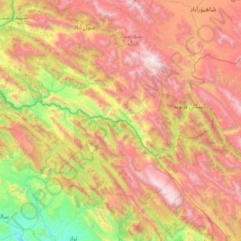
Name: Bakhtiari topographic map, elevation, terrain.
Location: Bakhtiari, Khuzestan Province, Iran (32.71621 48.75809 32.96964 49.79822)
Average elevation: 1,883 m
Minimum elevation: 333 m
Maximum elevation: 4,022 m
Other topographic maps
Click on a map to view its topography, its elevation and its terrain.