Geolocate

Behbahan topographic map

Click on the map to display elevation.

About this map

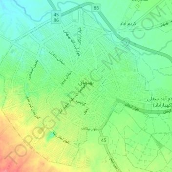
Name: Behbahan topographic map, elevation, terrain.

Location: Behbahan, بخش مرکزی, Behbahan County, Khuzestan Province, Iran (30.56620 50.20974 30.61834 50.26803)

Average elevation: 327 m

Minimum elevation: 305 m

Maximum elevation: 367 m

Gear up for your next adventure:

🧥Insulated Jacket - Keep warm in cold outdoor conditions
🧥Waterproof Hiking Jacket - Protect yourself from rain and wind while hiking
Camping Tent - Weather-resistant tents suitable for 2 to 6 people
🧥Softshell Hiking Jacket - The perfect balance of wind protection and breathability
🕶️Polarized Sunglasses - Protect your eyes with durable polarized lenses

As an Amazon Associate, this site earns from qualifying purchases at no extra cost to you.