
Suffield topographic map
Click on the map to display elevation.
About this map
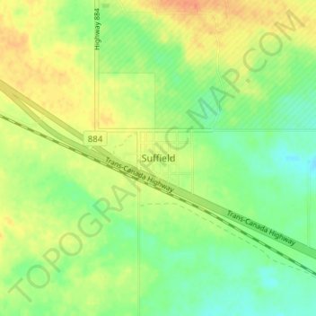
Name: Suffield topographic map, elevation, terrain.
Location: Suffield, Cypress County, Alberta, T0J 2N0, Canada (50.19927 -111.18087 50.23927 -111.14087)
Average elevation: 747 m
Minimum elevation: 728 m
Maximum elevation: 767 m
Cypress County trails, hiking, mountain biking, running and outdoor activities
Other topographic maps
Click on a map to view its topography, its elevation and its terrain.