
Scole topographic map
Interactive map
Click on the map to display elevation.
About this map
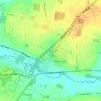
Name: Scole topographic map, elevation, terrain.
Location: Scole, Norfolk, East of England, England, United Kingdom (52.36328 1.15147 52.37378 1.17028)
Average elevation: 36 m
Minimum elevation: 19 m
Maximum elevation: 53 m