Geolocate

Potsgrove topographic map

Click on the map to display elevation.

About this map

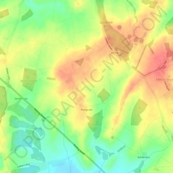
Name: Potsgrove topographic map, elevation, terrain.

Location: Potsgrove, Central Bedfordshire, England, United Kingdom (51.94877 -0.65300 51.97743 -0.59269)

Average elevation: 136 m

Minimum elevation: 103 m

Maximum elevation: 166 m

Gear up for your next adventure:

🕯️Camping Lantern - Illuminates your entire campsite with high-efficiency LEDs
❄️Traction Ice Cleats - Slip-on spikes for icy trails and winter hiking
Camping Tent - Weather-resistant tents suitable for 2 to 6 people
🧴Bear Spray Holster - Quick-access carry for essential Canadian wilderness safety
🐕Hiking Dog Pack - Let your canine companion carry their own water and food

As an Amazon Associate, this site earns from qualifying purchases at no extra cost to you.