
Thank you for supporting this site ❤️
Make a donation
Make a donation
Gear up for your next adventure:
As an Amazon Associate, this site earns from qualifying purchases at no extra cost to you.
Zelenika topographic map
Click on the map to display elevation.
Thank you for supporting this site ❤️
Make a donation
Make a donation
Gear up for your next adventure:
As an Amazon Associate, this site earns from qualifying purchases at no extra cost to you.
About this map
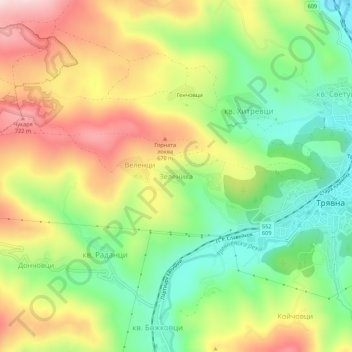
Name: Zelenika topographic map, elevation, terrain.
Location: Zelenika, Triavna, Gabrovo, 5350, Bulgaria (42.85040 25.44855 42.89040 25.48855)
Average elevation: 563 m
Minimum elevation: 408 m
Maximum elevation: 754 m
Thank you for supporting this site ❤️
Make a donation
Make a donation
Gear up for your next adventure:
As an Amazon Associate, this site earns from qualifying purchases at no extra cost to you.