
Eigersund topographic map
Interactive map
Click on the map to display elevation.
About this map
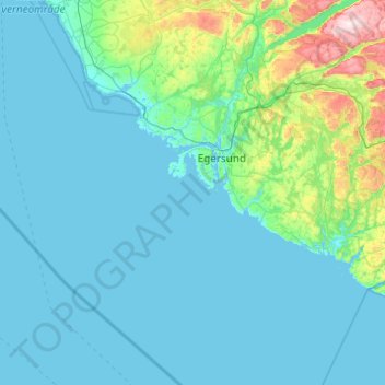
Name: Eigersund topographic map, elevation, terrain.
Location: Eigersund, Rogaland, Noorwegen (58.15833 5.51954 58.64933 6.49750)
Average elevation: 88 m
Minimum elevation: -1 m
Maximum elevation: 897 m
Other topographic maps
Click on a map to view its topography, its elevation and its terrain.