
Peopleton topographic map
Click on the map to display elevation.
About this map
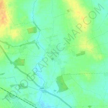
Name: Peopleton topographic map, elevation, terrain.
Location: Peopleton, Wychavon, Worcestershire, England, United Kingdom (52.15013 -2.09521 52.15548 -2.08582)
Average elevation: 32 m
Minimum elevation: 20 m
Maximum elevation: 52 m
Other topographic maps
Click on a map to view its topography, its elevation and its terrain.
Atch Lench
United Kingdom > England > Worcestershire > Wychavon > Church Lench
Average elevation: 80 m
Badsey Lane Nature Reserve
United Kingdom > England > Worcestershire > Wychavon > Evesham
Average elevation: 37 m