
Windsor topographic map
Click on the map to display elevation.
About this map
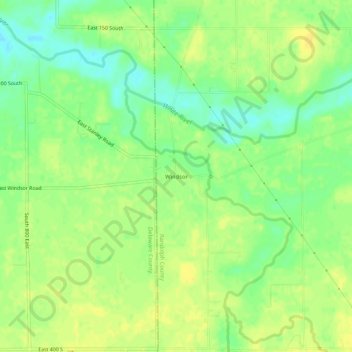
Name: Windsor topographic map, elevation, terrain.
Location: Windsor, Randolph County, Indiana, 47368, United States (40.13449 -85.23275 40.17449 -85.19275)
Average elevation: 312 m
Minimum elevation: 298 m
Maximum elevation: 321 m
Other topographic maps
Click on a map to view its topography, its elevation and its terrain.
Parker City
United States > Indiana > Randolph County
According to the 2010 census, Parker City has a total area of 0.57 square miles (1.48 km2), all land. It is located at an elevation of 1025 feet.
Average elevation: 312 m
Ridgeville
United States > Indiana > Randolph County
A post office called Ridgeville has been in operation since 1851. The town was named for its lofty elevation. Joab Ward, an old Settler to Ridgeville since 1819, originally laid out the village of Ridgeville, Randolph County, Indiana in 1854.
Average elevation: 306 m