Geolocate

Modoc topographic map

Click on the map to display elevation.

About this map

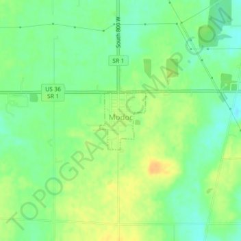
Name: Modoc topographic map, elevation, terrain.

Location: Modoc, Randolph County, Indiana, United States (40.04164 -85.12944 40.04817 -85.12272)

Average elevation: 355 m

Minimum elevation: 341 m

Maximum elevation: 371 m

Other topographic maps

Click on a map to view its topography, its elevation and its terrain.

Windsor

United States > Indiana > Randolph County

Average elevation: 312 m

Gear up for your next adventure:

🧢Hiking Sun Hat - Wide-brimmed protection for exposed mountain ridges
🧦Thermal Socks - Warm socks for winter hiking or camping
🧊Insulated Water Bottle - Keeps drinks cold in summer and prevents freezing in winter
🧢Beanie Hat - Keep your head warm in cold weather
🧰Emergency Multi-Tool - Compact multi-tool for outdoor survival

As an Amazon Associate, this site earns from qualifying purchases at no extra cost to you.