Geolocate

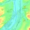
La Roche-Posay topographic map

Click on the map to display elevation.

About this map
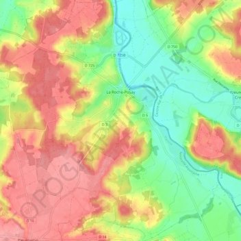
Name: La Roche-Posay topographic map, elevation, terrain.

Location: La Roche-Posay, Châtellerault, Vienne, Nouvelle-Aquitaine, Metropolitan France, 86270, France (46.73732 0.75155 46.81618 0.85962)

Average elevation: 99 m

Minimum elevation: 51 m

Maximum elevation: 142 m

Other topographic maps

Click on a map to view its topography, its elevation and its terrain.

Logerie

France > Nouvelle-Aquitaine > Vienne > Bonneuil-Matours

Average elevation: 117 m

La Chasseigne

France > Nouvelle-Aquitaine > Vienne > Thollet

Average elevation: 161 m

Montin

France > Nouvelle-Aquitaine > Vienne > Vicq-sur-Gartempe

Average elevation: 99 m

Les Bordes

France > Nouvelle-Aquitaine > Vienne > Gouex

Average elevation: 108 m

Verrières

France > Nouvelle-Aquitaine > Vienne > Champniers

Average elevation: 137 m

Gear up for your next adventure:

🧥Insulated Jacket - Keep warm in cold outdoor conditions
🏕️Camping Hammock - Integrated protection for sleeping between trees
🎒Fully Waterproof Backpack - Total protection for photography gear and electronics
🧢Sun Hat - Wide-brim hat for sun protection
🥘Camping Cookware Set - Compact nesting pots and pans for trail cooking

As an Amazon Associate, this site earns from qualifying purchases at no extra cost to you.