Geolocate

Sandy Hook topographic map

Click on the map to display elevation.

About this map

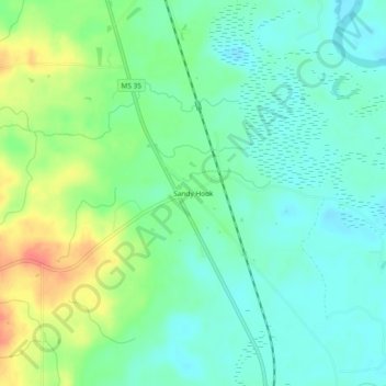
Name: Sandy Hook topographic map, elevation, terrain.

Location: Sandy Hook, Marion County, Mississippi, United States (31.01629 -89.82480 31.05629 -89.78480)

Average elevation: 45 m

Minimum elevation: 27 m

Maximum elevation: 81 m

Other topographic maps

Click on a map to view its topography, its elevation and its terrain.

Columbia

United States > Mississippi > Marion County

Average elevation: 52 m

Gear up for your next adventure:

🛌Insulated Sleeping Pad - Critical thermal barrier between you and the cold ground
❄️Traction Ice Cleats - Slip-on spikes for icy trails and winter hiking
🚑Survival Whistle - Signal for help across long distances in mountains
🧭GPS Tracker - Track your location in remote areas safely
🥾Durable Hiking Shoes - Long-lasting shoes for frequent hiking

As an Amazon Associate, this site earns from qualifying purchases at no extra cost to you.