
Represa Los Ejidos topographic map
Interactive map
Click on the map to display elevation.
About this map
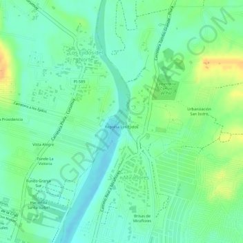
Name: Represa Los Ejidos topographic map, elevation, terrain.
Location: Represa Los Ejidos, Castilla, Piura, 20002, Perú (-5.15903 -80.61516 -5.15893 -80.61506)
Average elevation: 38 m
Minimum elevation: 24 m
Maximum elevation: 58 m
Other topographic maps
Click on a map to view its topography, its elevation and its terrain.