Geolocate

Terela topographic map

Click on the map to display elevation.

About this map

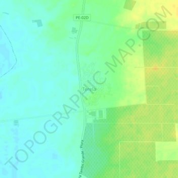
Name: Terela topographic map, elevation, terrain.

Location: Terela, Castilla, Piura, Perú (-5.09934 -80.61414 -5.05934 -80.57414)

Average elevation: 43 m

Minimum elevation: 34 m

Maximum elevation: 55 m

Other topographic maps

Click on a map to view its topography, its elevation and its terrain.

Gear up for your next adventure:

🎒Hiking Backpack - Lightweight and ergonomic backpacks for day hikes or multi-day treks
👖Convertible Hiking Pants - Zip-off legs to adapt to changing weather conditions
Lightweight Backpacking Tent - Compact tent for efficient hiking trips
🧤Rechargeable Heated Gloves - Extreme warmth for Canadian winter expeditions
💡Compact LED Flashlight - Powerful and portable flashlight for outdoor use

As an Amazon Associate, this site earns from qualifying purchases at no extra cost to you.