
Creelman topographic map
Click on the map to display elevation.
About this map
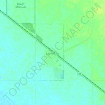
Name: Creelman topographic map, elevation, terrain.
Location: Creelman, Saskatchewan, S0G 0X0, Canada (49.81357 -103.31634 49.82822 -103.30479)
Average elevation: 617 m
Minimum elevation: 611 m
Maximum elevation: 626 m
Saskatchewan trails, hiking, mountain biking, running and outdoor activities
Other topographic maps
Click on a map to view its topography, its elevation and its terrain.
McClean Lake
Canada > Saskatchewan > Division No. 18 > Unorganized Division No. 18
Average elevation: 440 m
La Loche
Canada > Saskatchewan > Northern Saskatchewan Administration District > La Loche
Average elevation: 447 m
Pelican Narrows
Canada > Saskatchewan > Northern Saskatchewan Administration District > Pelican Narrows
Average elevation: 321 m