

Bengough topographic map
Click on the map to display elevation.
Bengough
Bengough is located within the Missouri Coteau near Willow Bunch Lake, Big Muddy Lake, Salt Lake and Channel Lake. Few well-defined streams or creeks are located near the townsite. The landscape where the town is located is characterized by pitted and rolling topography of the moraine deposits that dominate the landscape. Just south of Bengough is the Big Muddy Badlands.
About this map
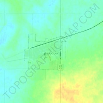
Name: Bengough topographic map, elevation, terrain.
Location: Bengough, Division No. 2, Saskatchewan, S0C 0K0, Canada (49.39171 -105.13666 49.40099 -105.12006)
Average elevation: 690 m
Minimum elevation: 679 m
Maximum elevation: 708 m
Division No. 2 trails, hiking, mountain biking, running and outdoor activities