Geolocate

Chain Lakes topographic map

Click on the map to display elevation.

About this map

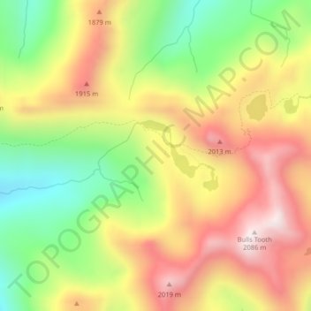
Name: Chain Lakes topographic map, elevation, terrain.

Location: Chain Lakes, Chelan County, Washington, United States (47.68542 -121.02166 47.69161 -121.01159)

Average elevation: 1,697 m

Minimum elevation: 1,333 m

Maximum elevation: 2,051 m

Other topographic maps

Click on a map to view its topography, its elevation and its terrain.

Jay Peak

United States > Washington > Chelan County

Average elevation: 1,829 m

Little Bear

United States > Washington > Chelan County

Average elevation: 807 m

Dagger Lake

United States > Washington > Chelan County

Average elevation: 1,845 m

Gear up for your next adventure:

Camping Tent - Weather-resistant tents suitable for 2 to 6 people
🧦Hiking Socks - Moisture-wicking and comfortable socks for long hikes
🥾Trail Running Boots - Durable shoes designed for trail running
🛏️Camping Sleeping Mat - Comfortable mats for sleeping outdoors
🧥Softshell Hiking Jacket - The perfect balance of wind protection and breathability

As an Amazon Associate, this site earns from qualifying purchases at no extra cost to you.